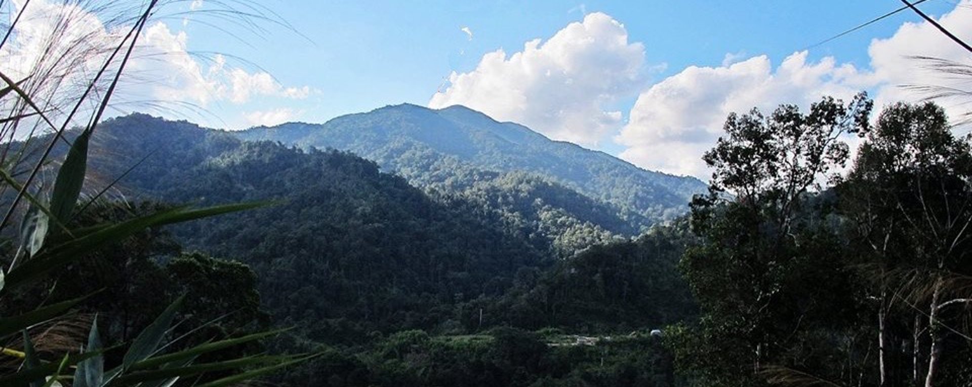
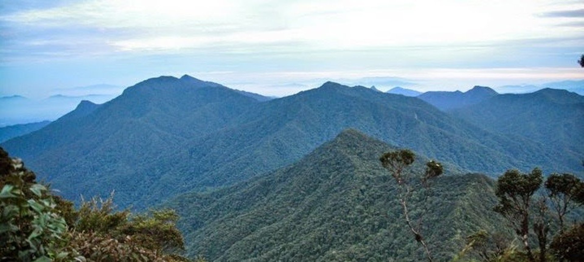
Mount Chamah
Gunung Chamah lies in the north-western corner of Kelantan near to Gua Musang and is the fifth highest mountain in Peninsular Malaysia with 2171 meter / 7123 feet. It is one of the Peninsula’s G7. Gunung in Malay literally means mountains with an elevation of 1,000 m and above. The trail requires you to be mentally and physically fit. Be prepared and enjoy your thrilling nature journey!
Itinerary
Day 1: Meetup and Briefing
0700hrs Meetup and briefing
0800hrs 4WD ride from Pos Simpoh
1230hrs Pos Simpoh (mainly dirt terrain)
1330hrs Lunch break – Start Ascent
1700hrs 1st river crossing – Kg Rekom
1800hrs Kem Pakma (Campsite)
2000hrs Dinner
Day 2: Chamah Summit
0400hrs Breakfast Camp Pakma -Start Trekking
0600hrs Kem Tengah (water source)
0715hrs Kem Tongkat Ali (LWP – Last Water Point)
0845hrs Anak Chamah
1145hrs Gunung Chamah Summit – Lunch
1300hrs Gunung Chamah Summit – Start Descent
1600hrs Anak Chamah
1730hrs Kem Tongkat Ali (LWP – Last Water Point)
1845hrs Kem Tengah (water source)
1930hrs Kem Pakma (dinner and rest) (water source)
Day 3: End of Hike – Back to Kuala Lumpur
0600hrs Breakfast – Camp Break
0730hrs Start trekking
0800hrs Kg Rekom
1230hrs Pos Simpoh – Lunchbreak
1300hrs 4wd to Kuala Betis
1700hrs Kuala Betis
1830hrs Free and Easy


· Mountain guide
· Permit
· Transportation (4WD transport)
· Ration (Carried by Climber)
· Chef and equipment
Includes
Any personal, equipment, and belongings.
Porter
Travel, meals, accommodation and other items not mentioned above prior and after the expedition
Personal Medication
Meals other than specified in the itinerary
Travel insurance
Excludes

Global Expedition Training Sdn Bhd [202101006083 (1406382-D)]
Kelab Expedisi Global (Global Expedition Club) (C-SGR-03425)
Persatuan Pembangunan Konservasi Hutan Global (PPM-018-10-29112023)
Corporate Office / Expedition Centre
Malaysia
Address: A10/2/2, One Ampang Business Avenue, Jalan Ampang Utama 2/2,
Ampang, 68000 Selangor, Malaysia.
Email : gecsales2026@gmail.com
Landline: +60350200558
Mobile no: +60192379653
Blogs....
1. Benefits of Hiking
2.
Overseas Office
Nepal Office :
House ,
Jalan Thamel, Kathmandu, Nepal.
Tanzania Office :
Arusha, Tanzania.
Blogs....
1. Benefits of Hiking
2.